AxisGIS
Cambridge’s AxisGIS web map is our most robust interactive mapping solution. It has many features which allow users to view, query, and create maps. Users can also export selected datasets, generate abutters list for mailings, use measurement tools, mark up maps, send links to other users by e-mail, and more! Whether you’re an experienced GIS user or a first-time viewer, the AxisGIS interactive web map is a great way to explore the city and create your own personalized maps.
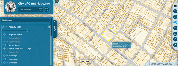
Start exploring Cambridge AxisGIS
Cambridge Themes
AxisGIS also gives city staff and the public access to explore a variety of themes. Each theme contains different groups of Cambridge GIS data. You can turn on as many layers as you need to display the details you’re looking for on the map.
Select a theme