Committee: Transportation, Streets, and Sidewalks
Cost: $60,000
Location: A high-density area or near transit stations at major squares.
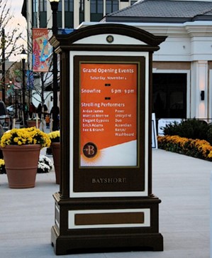
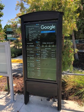
Short Description: Install a digital sign to help with public navigation. This project will provide a street map, list public transportation routes and community landmarks (libraries, parks, schools, etc.), and include information about upcoming events and important announcements.
Long Description:
This project will implement a large digital sign with a map and electronic icons (on one or both sides) along a Cambridge Red Line T stop that includes a street map showing the neighborhood area, public transportation routes, community landmarks (libraries, parks, schools, youth centers, etc.), as well as upcoming events and public service announcements. The information will be updated regularly to keep it current and will help community members stay informed.


