

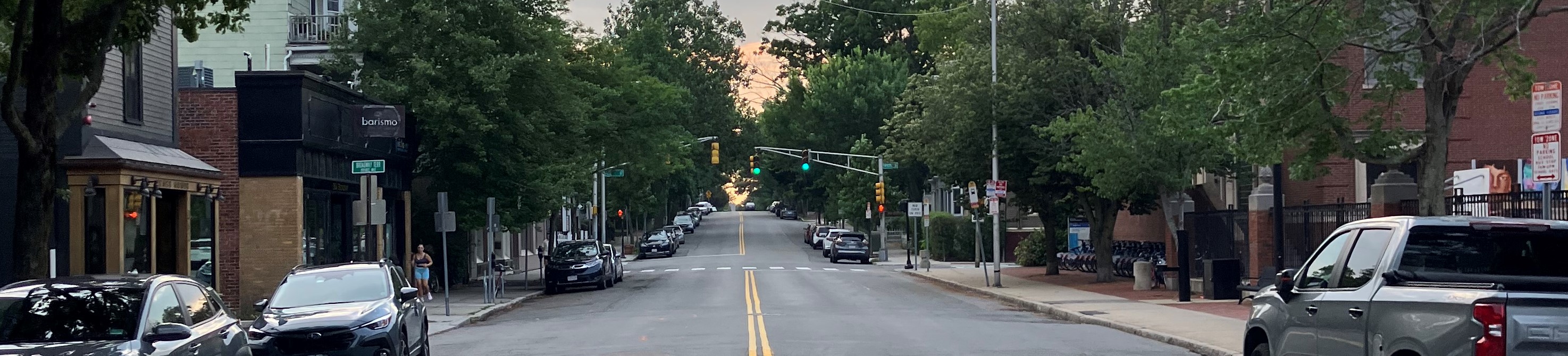
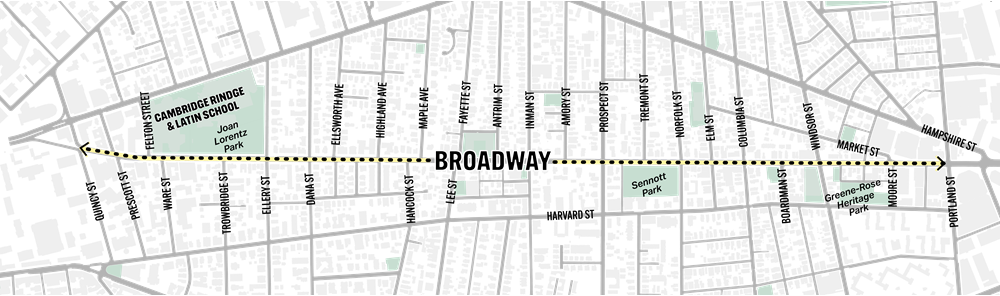
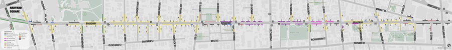
The City of Cambridge is installing separated bike lanes on Broadway between Quincy St and Portland St.
What to expect:
-
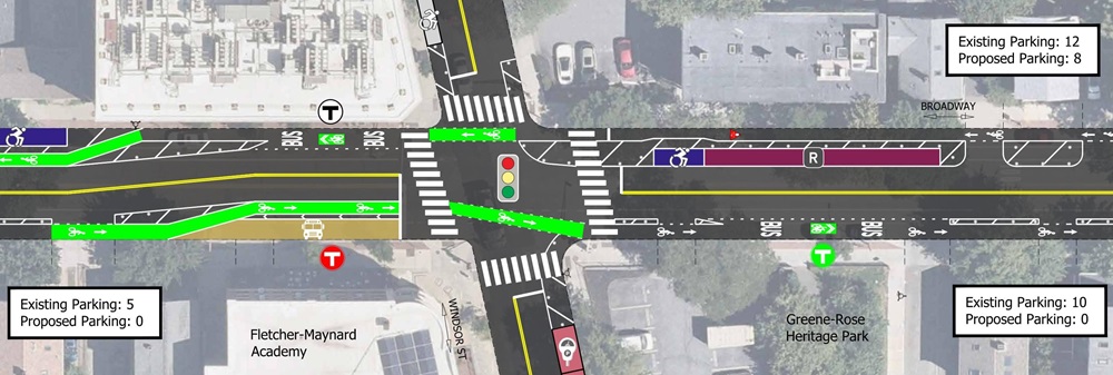
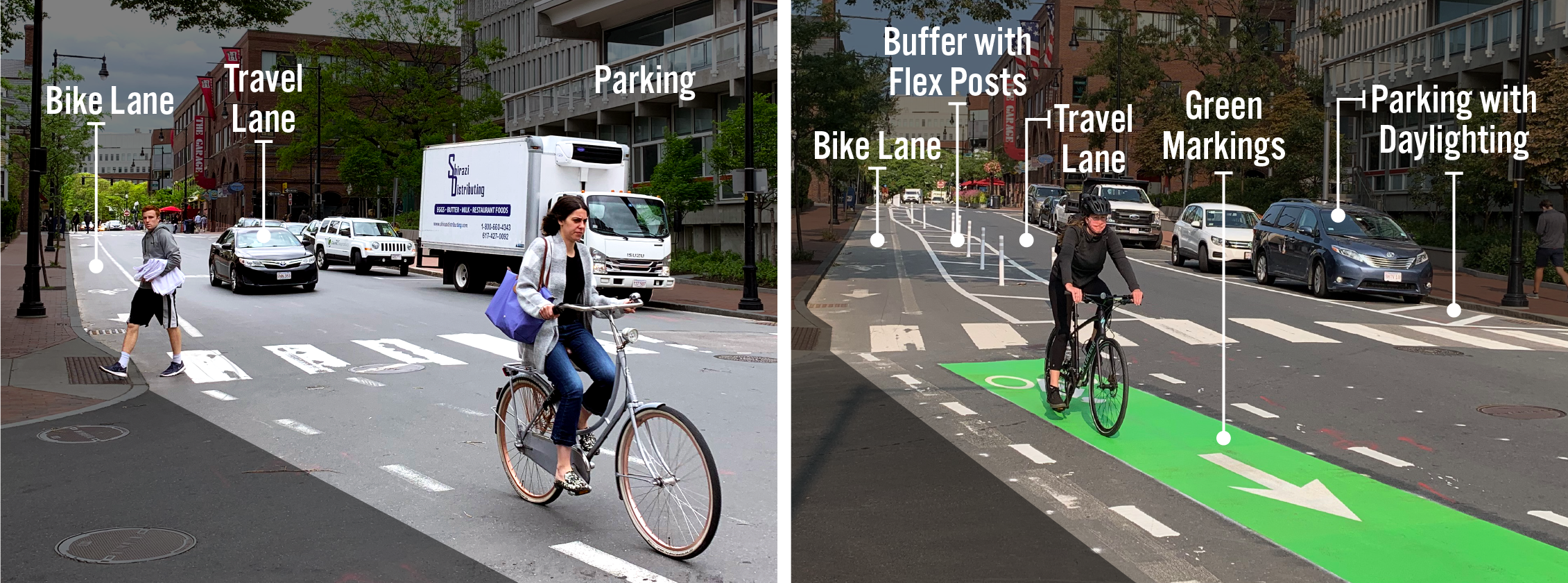
Installation of separated bike lanes: This refers to bike lanes along the curb, separated from vehicles by white flex-posts or other physical barriers.
-
Changes for people walking and taking the bus: Bus stop locations may change, and pedestrian safety enhancements will improve crosswalks.
-
Reduce on-street parking
- We haven't finished design yet, but we hope to maintain about 40% of the current spaces.
- The amount of parking that remains will depend on which design options we choose during the community feedback process and will vary by location.
These changes will help us meet the requirements of the Cambridge Cycling Safety Ordinance, support our Vision Zero goal to eliminate crashes resulting in fatalities and serious injuries, and bring us closer to realizing the Cambridge Bicycle Network Vision.
Plans
Check back soon for updated Section A plans.
Surveys
We want to hear from you!
Comment Map
Tell us how you currently use the street, pinpoint safety concerns, and identify parking and loading needs.
Comment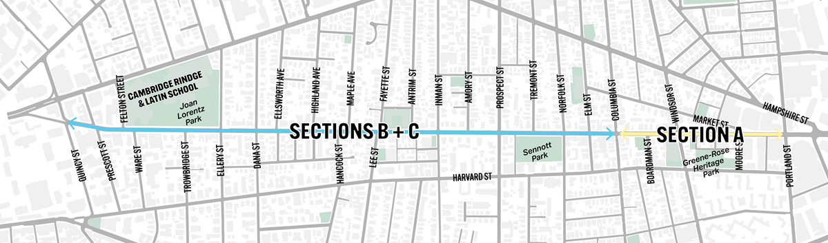


